
Posted on Feb. 23, 2026 at 7:42 pm

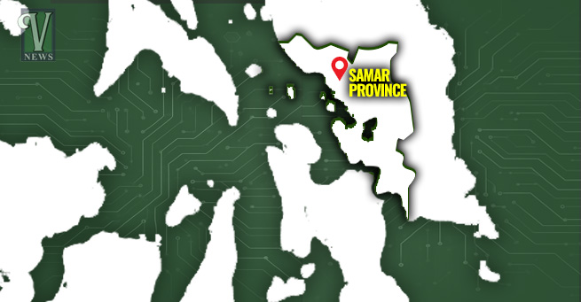
In the halls of Catbalogan City this February, a question was asked that should haunt every policymaker in the province. It wasn’t a technical inquiry about “consequence scoring” or “risk ranking,” though those were the themes of the three-day workshop. It was a question of survival: “Can our rice granaries still feed the entire province?”
For Gerardo Malinao, the CSO leader who posed the question, the answer isn’t found in a spreadsheet. It is found in the muddy, silt-choked waters of the Gandara River.
The Ghost of WESAMAR
There was a time, during the storied WESAMAR era, when the 10 municipalities were the Rice Granary of Samar. These lands were once so fertile, so prolific, that they carried the food security of the entire province on their back.
But history has a way of punishing environmental debt. The large-scale logging operations of San Jose Timber decades ago didn’t just take the trees; they took the province’s future. Today, those mountains are bald; some parts are covered with Imperata cylindrica—cogon grass. This isn’t just a change in scenery; it is a fundamental shift from a life-giving watershed to a fire-prone, flood-generating wasteland.
The Triple Threat: Fire, Flood, and Faded Soil
What PDRRMO Manuel Van Torrevillas identifies as the “effect of climate change” is actually a man-made vulnerability being exploited by a changing climate. Samar is currently trapped in a devastating cycle:
- The Uplands: Degraded grasslands now act as tinderboxes, inviting annual wildfires
- The River: Without forest cover, every rain becomes a runoff event. The Gandara River, once a proud artery of life, is now suffocating under heavy siltation. The rising riverbed—a literal “shallowing”—means that even moderate rains now translate into immediate, destructive overflows.
- The Earth: Below the surface, the soil is dying. Nutrient leaching and high acidity have turned once-rich paddies into unproductive stretches of land that can no longer buffer against environmental extremes.
The Digital Renaissance
The province is currently “flying blind.” Relying on NAMRIA data that stops at 2020 is like trying to navigate a storm with a decade-old map. The partnership between the Provincial Government of Samar and Alinea Philippines is a necessary, if overdue, intervention.
By utilizing satellite imagery and digitization, this project aims to replace guesswork with ground truth. The goal is to move beyond “paper-bound” adaptation and embed climate science directly into the DNA of local policy.
A Call to Action
Across Region 8, the data is sobering: only Biliran remains truly rice-sufficient. Samar’s departure from that list is a loud alarm bell for provincial food security.
Regaining “Granary” status isn’t just about planting more seeds; it’s about restorative justice for the Gandara River Sub-Watershed. It’s about dredging the rivers, healing the soil, and aggressively protecting the shrublands that are trying, desperately, to become forests again.
The potential for recovery exists, but the timeline is long and the climate clock is ticking. We must decide if we will remain a province that remembers its past abundance—or one that works to reclaim it.

 Police Probe Death of Construction Worker in Catbalogan
 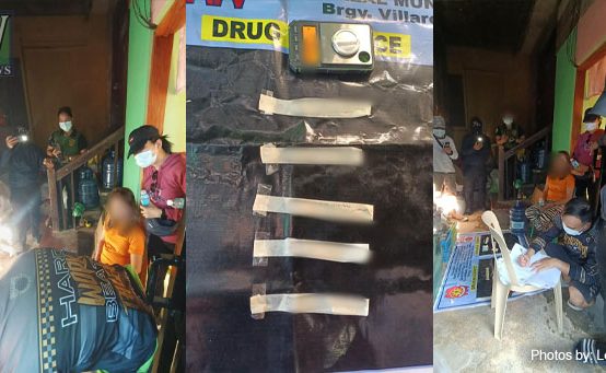 Barangay Official Arrested in Samar Drug Bust
  Army Operations in Samar Intensify, Disrupt CTG Units, Uncover Weapons Cache
 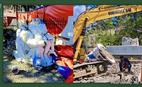 Catbalogan Pieta Park Fight Escalates Over Planned Commercial Use
  Motor Cab Driver Arrested in Gandara Drug Bust